Tag Archives: featured

Latlong’s story of mapping India

The July edition of GeoBLR featured Rahul RS from Onze Technologies. Onze is the prefered store locator infrastructure by several businesses in India including TVS, Dell and Cafe Coffee Day. The store locator is powered by Onze’s very own Latlong.in – extensive, web based points of interest and map data interface.

2015-07-30 18.23.40

Rahul shared the story of Latlong.in, their infrastructure and challenges mapping Indian cities. They started out in 2007 at a time when there was no reasonable geographic data source available for India – commercial and non-commercial. Rahul’s team gathered toposheets from the Survey of India and georeferenced boundaries to incorporate into their maps. Rahul pointed out that these are inexpensive but high effort tasks. Plus, tools to do these are expensive.

In order to address India-specific mapping needs, geo-rectification needed to be inevitably supported by field surveys. Each city is unique and people entirely depend on landmarks and hyperlocal information to get around. Rahul brought in experts from different areas to gather local information. “The idea behind Latlong.in starts by saying that addresses don’t work in India”, says Rahul. When OpenStreetMap picked up, Latlong.in moved to a mix of their data and OSM that was maintained on their own. It is a complicated effort. Conflation and dealing with multiple revisions of data is tricky and there aren’t great tools to deal with it effortlessly. Latlong.in follows Survey of India’s National Map Policy. They avoid mapping defence and high security features.

Owning the entire data experience is critical to win in this market. Remaining open and improving continuously is the only way to keep your datasets upto date.

Mumbai Meet 7: Housing.com Talks On Analytics, Ask How India’s Story Telling Techniques

IMG_0072

The Mumbai Data Meet kicked off the 7th session with two prominent speakers. The event was held on 30th May at the Sardar Patel Institute of Technology and was attended by more than 50+ people.

The first talk was by the team at Housing.com, which is an online real estate portal. The talk was shared between Paul Meinshausen, VP of Data Science, and Sourabh Rohilla, Data Scientist.

IMG_0080

The second talk was by Yogesh Upadhyaya of AskHowIndia.org. His talk was centered around the use of data and visual story telling techniques.

IMG_0104

You can listen to the entire talk here.

And you can read more about it by Sidharth Shah over here. He has summarised the entire talk.

The next Mumbai data meet 8 will be held on 17th July.

After success of the “Data Science Hackathon” that was co-hosted with Zone Startups and a BFSI company, we are now co-organising another hackathon along with a corporate and Zone Startups.

Click here for more details.

IMG_0070

Maps For Disaster Preparedness

screensavescreensaveDatameet, Mapbox and Akvo Foundation are organizing an OpenStreetMapping Party on 4th of July 2015 in New Delhi.

We are getting together to map  a few Indian cities and villages – improving road networks and infrastructure data in OpenStreetMap – the largest living map of the world. Join us to learn how to map on OpenStreetMap.

The Humanitarian OpenStreetMap Team activates in times of crisis to support responding organisations with map data, helping them better plan disaster response. Mappers around the world get together to improve road networks and infrastructure data in OpenStreetMap. The Humanitarian OpenStreetMap team leverages the OpenStreetMap platform in various directions to support crisis management with map data.

The impact we can make during a crisis is entirely dependent on the availability of map data. We will focus on understnding how maps and data can be used in the Indian context through a hands-on workshop, and integrate many of the lessons we learned first hand from the most recent earthquake that struck Nepal where over 2,000 volunteer from across the world came together to support the response efforts to quadruple road milage and add 30% more buildings in the most affect regions of Nepal.

Please visit the event page to RSVP or join the Facebook Event.

Mumbai Meet 6: Data Science Hackathon

DataMeet 6 was a 2 day, Data Science Hackathon that was organised by a BFSI company, Zone Startups and DataMeet Mumbai. The Hackathon took place in the Bombay Stock Exchange Building at Zone Startup’s office. Twelve teams participated. These included teams of young data enthusiasts and specialist data scientists teams from companies like TCS and Housing.com.

The BFSI company opened up 80GB of it’s real transactional data in a secure environment to the participating data enthusiasts.

The teams were expected to analyze the data and draw out insights that would be relevant to their use case scenarios such as Health Bankruptcy or pull out a trend which is hidden and unknown to the BFSI company. Teams were free to use any tool of their choice from R, Python, Tableau, etc.

Each team was provided an individual secure Oracle DB connection from which they could query the data but not download the data. The Oracle DB connections were opened only to the Static IPs of Zone Startups Office and the data to and fro from the servers was monitored to ensure against downloading of the data.

Day 1

The day started with various teams analysing the raw data, tables, meaning of columns. The representatives from the BFSI company also gave a briefing about objectives.

600_437353359

Day 2

Many of the young teams did not turn up on Day 2 due to complexity of the problem. At the end of Day 2, the judges from the BFSI company evaluated each team’s progress, gave feedback and suggestions.

600_437353364

Delhi Jal Board and Open Water Data: Report from DataMeet-Up

A DataMeet-Up was held on Thursday, April 30, 2015, at the Akvo office to discuss the Summer Action Plan prepared by the Delhi Jal Board (DJB) and the data concerns thereof. Sundeep Narwani of Delhi Dialogue Commission presented the Action Plan. Kapil Mishra, MLA and Vice-Chairman of DJB, participated in the discussions and described the planned activities at DJB.

Here are the minutes of the meeting, prepared by Sandeep Mertia.

Sundeep Narwani, started with a presentation on Delhi Jal Board’s Summer Action Plan (SAP) 2015. Some important point from his presentation were:

  • SAP is a short term measure for three months of summer
  • Big problem: 40% of Delhi does not have enough piped water networks, and thus tanker services and unauthorised supply exist
  • They have planned several measures for improving the systems of – tube wells, infrastructure (replacing old lines) and repairs, grievance redressal and sewage treatment.

The details are available in the Summer Action Plan document.

This was followed by a long discussion session on several issues and concerns – related to water problems in Delhi. Some of the important questions, comments and suggestions were:

  • What is the authenticity of data which DJB has?
    Answer: Doubtful.
  • What’s the organisational structure of DJB, and its relationship with the MCD?
    Answer: DJB is a state body, independent from MCD
  • There is no data on bulk supply to colonies
  • Very little end user data. Lack of meter reading and averaged bills are part of the reasons for this problem
  • There is no way to interconnect supply between localities
  • No data on quality of water
  • Dr. Rajinder Kaur spoke about using existing spatial data maps of NCT/NCR, and the research conducted by the Indian Agricultural Research Institute on using spatial data for classifying ground water depth and quality
  • Dr. Renu Khosla, from Centre for Urban and Regional Excellence spoke about using GIS data for slums
  • Mr. Kapil Mishra, the Vice-Chairman of the DJB spoke at length about how they plan to transform the DJB. Also, he promised all data sharing from DJB’s side.

After a general discussion on various water related issues in Delhi, in the last segment we focused on framing the data problems associated with SAP 2015.

  • Need to think about the water data which already exists.
  • Sundeep will put up a list of people and organisations which have data on water in Delhi
  • A suggestion was made to focus on Gram Sabha level data as well
  • Need to prioritize the issue of water access to all, the missing data on ‘access’ related problems and appropriate mechanisms
  • Some private bodies have been collecting data from GPRS meters, let’s try to open this data
  • Need to map the borewells
  • Need to interpret and understand the data which DJB requires.

To Do list

  • We will list out all data sets that have informed the SAP document [Time: 2 weeks]
  • Sundeep will share the data sets already available from DJB
  • Once the list of data sets is prepared by us, it will be submitted to DJB via Sundeep and Kapil, who will then see if the mentioned data sets can be opened up. [Approximate time: 1 month]
  • Once these data sets are available, we will evaluate the quality of these data sets
  • Identify data sets that are missing and the ones that require a better collection process

Resources

We are using a Google spreadsheet to list out all data sets that informed the Summer Action Plan.

We are using HackPad to collect various resources.

Images of notes takes by Namrata Mehta and Sumandro Chattapadhyay at the meeting:

DataMeet_2015.04.30_DJB_Water_Data_Notes_01

DataMeet_2015.04.30_DJB_Water_Data_Notes_02

DataMeet_2015.04.30_DJB_Water_Data_Notes_03

DataMeet_2015.04.30_DJB_Water_Data_Notes_04

{Ahmedabad} – 2nd Meetup

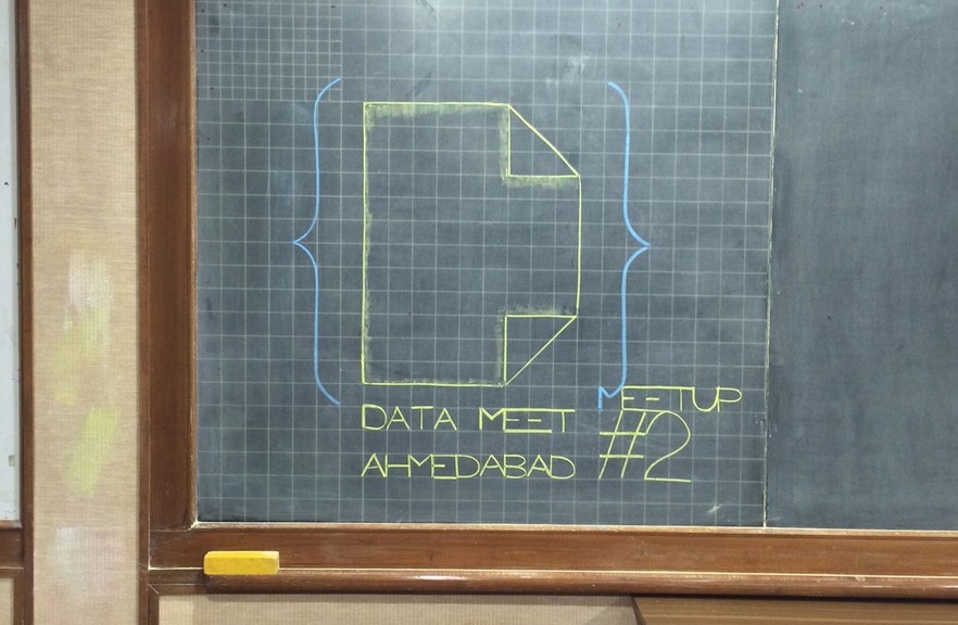
Data{Meet} Ahmedabad – 2nd Meetup

Data{Meet} Ahmedabad - 2nd Meeting

Data{Meet} Ahmedabad – 2nd Meeting

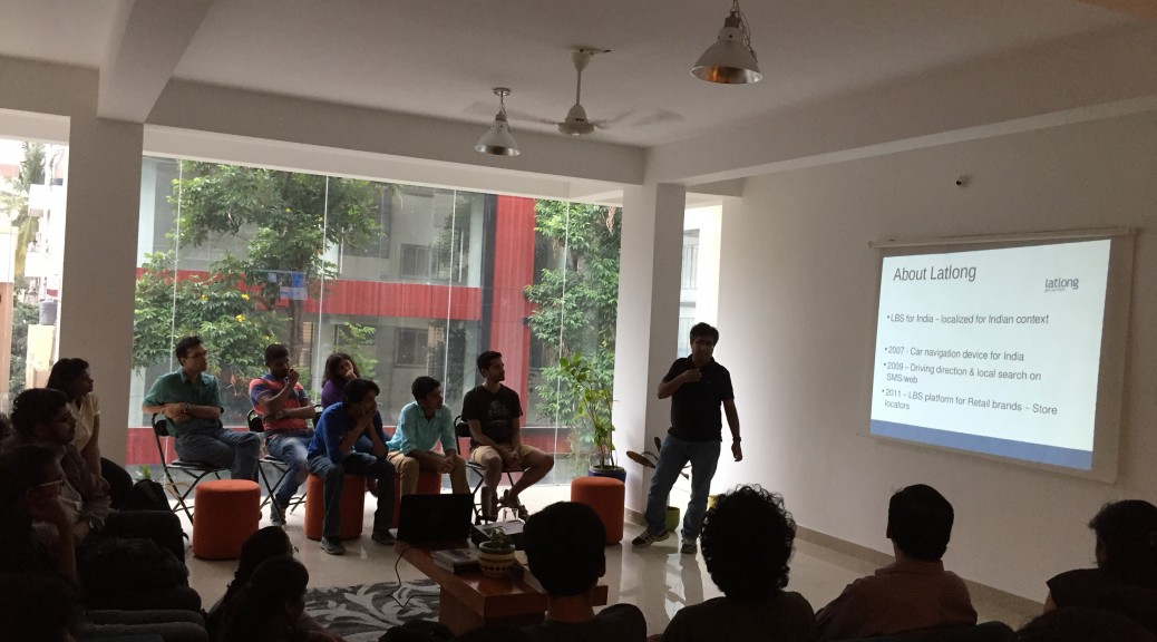
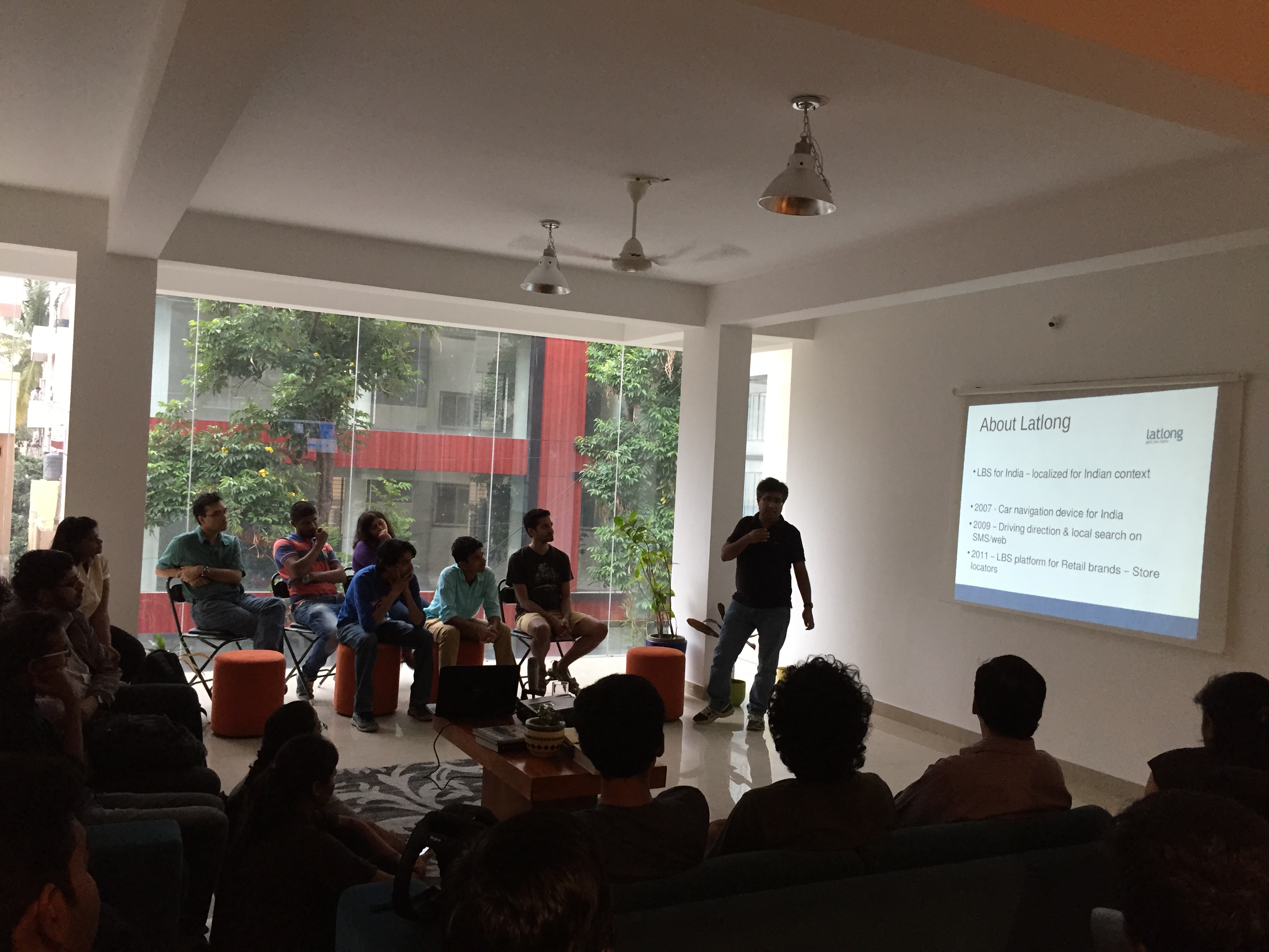
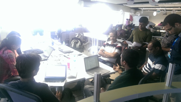
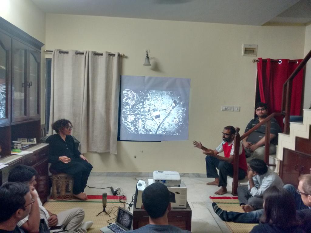
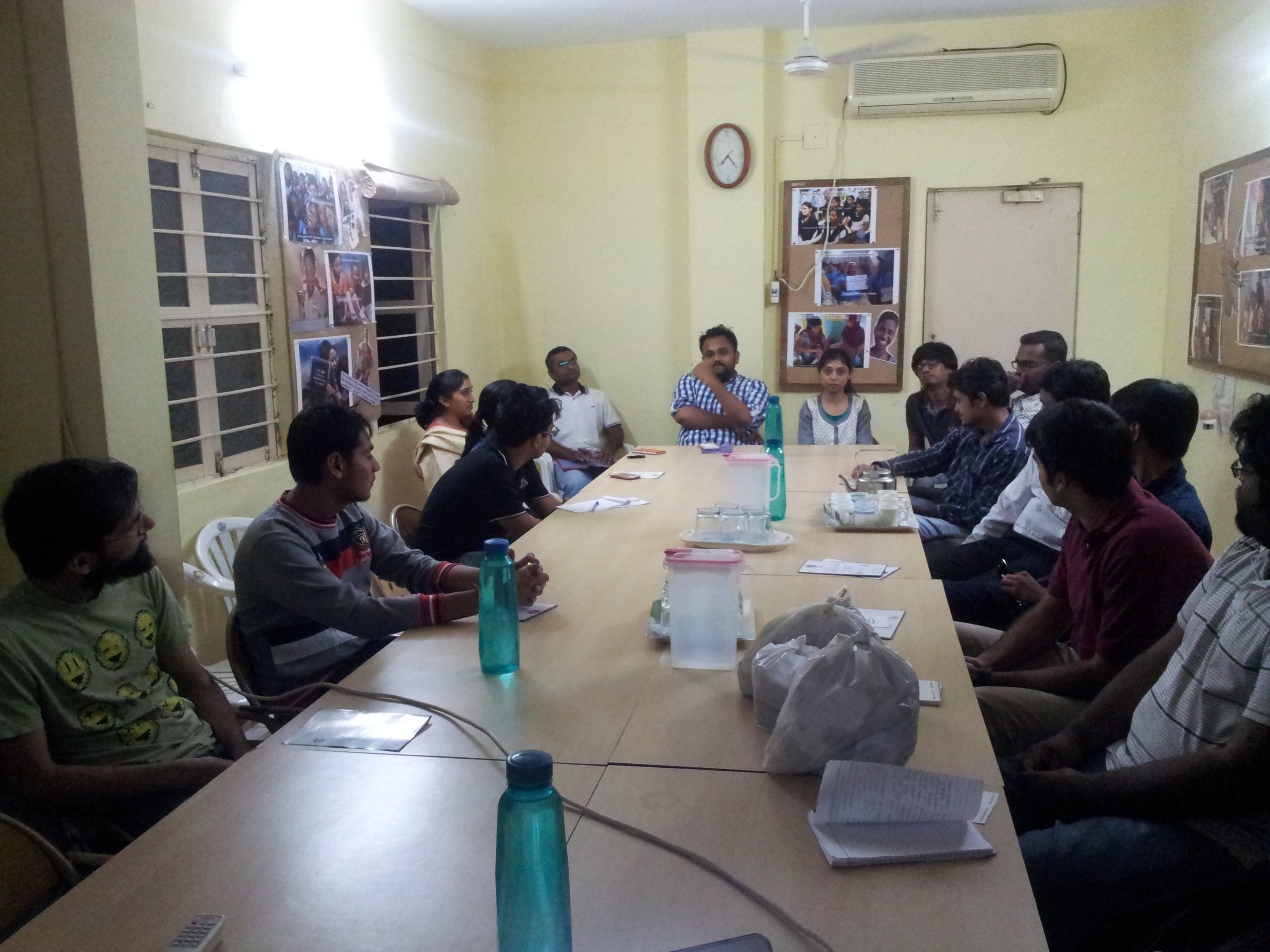
Our 2nd meetup was held at IIM-A, under the aegis of the RTE Resource Centre, with 20 participants; half of them had attended the 1st meetup.

Talk #1: All walls come down – by Ashish Ranjan, RTE Resource Centre, IIM-A

The first talk in the 2nd DataMeet of Ahmedabad Chapter brought forward the efforts being put together by the team RTE, working out of IIM-Ahmedabad. The team members present at the venue were Prof. Ankur Sarin, Ashish Ranjan, Advaita R and Nishank Varshney. Ashish presented their journey of supporting the implementation of RTE in the state of Gujarat.

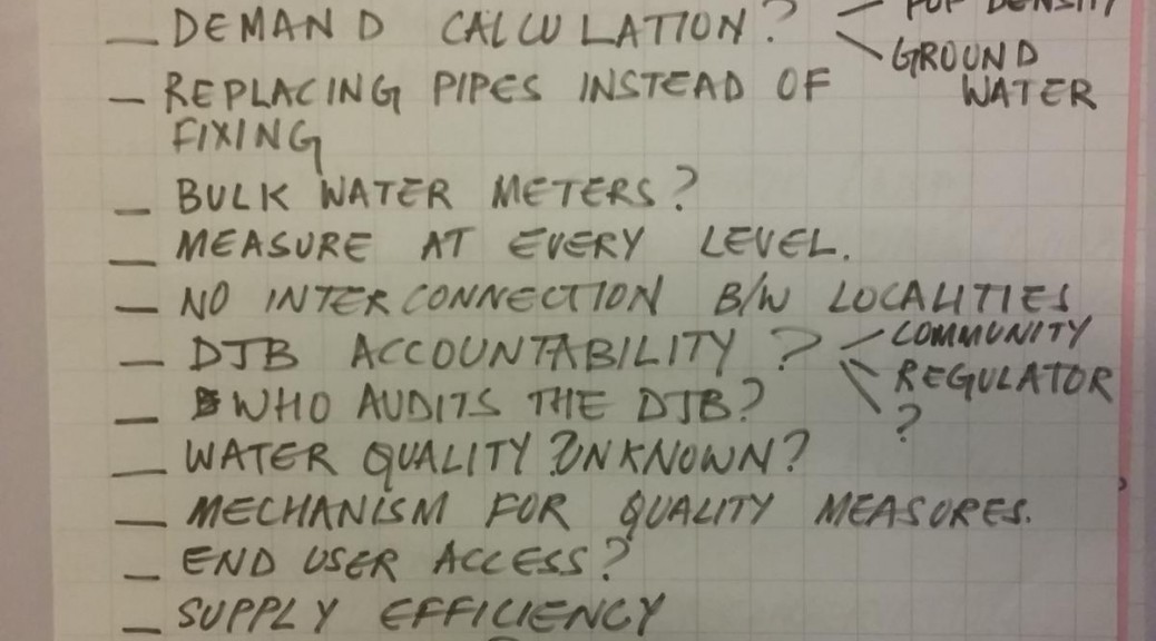
The Right to Education (RTE) act Section 12 requires schools to enrol a certain number of children from economically weaker families. The RTE Resource Centre (rterc.in) organises pre-enrolment campaigns for the benefit of prospective students and their parents, and has enlisted NGOs for hand-holding the children post-enrolment. The talk gave a glimpse of their experience in Ahmedabad, observations from Maharashtra, and the data-related challenges they faced.

datameet2

The management of this important activity was being done manually. This threw up many problems:
The registration of beneficiary families was often incomplete, with partial addresses – recording just the area of residence e.g. “Jamalpur”. This lead to many parents complaining about non-receipt of allotment letters..
There was no mapping of schools or beneficiary families, which could have aided better matching of children and schools.

A study by the team RTE revealed how a large number of schools were finding their way around the RTE mandate. These methods include making demands of un-required documentation of the parents to, tricking the MIS systems which enable applications from parents, into counting the ages of the children eligible for the schools as ineligible amongst various others. Nishank pitched in with instances from Maharashtra, where the minimum and maximum permissible age limits were deliberately entered by schools in such a way that potential students would be under age during an admission year, and over age the next year, effectively excluding them. In some particularly bad cases, the difference was one day: the child would have to be born on a specific date. For lack of efficient and transparent allotment processes, there were cases of candidates getting multiple admissions (as much as 18) while some did not get any. To bring out all these analyses, though, the school and student data from the Maharashtra RTE website had to be painstakingly downloaded, manually. Many DMers offered support to gather this data more easily.

datameet3

The team was quite inspired by the school map of the Karnataka Learning Partnership (klp.org.in/map) and wants to build such a comprehensive tool for themselves, with features to find schools within a specified distance, and help match students with schools. Unlike the Karnataka programme, there still is no MIS in place to facilitate the enrolment and selection process. Shravan suggested that it might be possible to use the codebase of KLP and adapt it for use in Ahmedabad. Hopefully, the D{M} folks will volunteer for the necessary support.

The RTE team also wants to build a tool to track the performance of enrolled students. They discussed about the potential privacy issues involved in this. It was suggested that the performance reporting to be published on the website could be at an appropriate level of aggregation which safeguards privacy and preserves discernible performance stats. The possibility of using ODK for volunteer led data collection was also discussed.
Getting together at the meetup opened up many possibilities for collaboration from the participants as a few of them came forward with suggestions and also extended their support to this cause.

Talk #2: Public Transport of Ahmedabad

Jayesh Gohel is not your everyday architect. He dropped out of his course at CEPT because he got too interested in code and soon enough he started enjoying making websites. Being an Amdavadi, he noticed the lack of infrastructure, both digital and non-digital in supporting the commuting that AMTS enabled in the city and so he decided to work on amtsinfo.in – the unofficial official support and information website for the Ahmedabad Municipal Transport Service.

Jaye

At the 2nd Datameet in Ahmedabad, Jayesh inspired the audience with his experiences with developing the website with the sole aim of solving the information problem related to the rather important and convenient network that AMTS is. Jayesh’s talk was simple and spoke about his personal motivations and learnings in the course of the development of this app. It also brought to the light the issues that plague the archaic systems that govern our modern lives, which can otherwise be so easily solved with the use of digital technology. However, ‘there’s hope if all of us take initiatives’, Jayesh said.

Nepal Needs You to Make Maps!

Post by Tejas AP

The Humanitarian OpenStreetMap Team (HOTOSM) has activated to support crisis response in Nepal after the recent devastating earthquake. A global team of volunteers is contributing to the OSM project by mapping physical infrastructure (roads and buildings) as well as traces and areas safe for crisis responders to use and congregate at. We believe improved information, especially of the remote affected areas, is crucial to improve the efforts carried out by relief agencies on-ground.

Volunteers may contribute to the map of Nepal simply by selecting a task from the wiki. Basic questions about registering and using the OSM mapping tool can be found in its comprehensive documentation here.

While the volunteers have been recording road networks and buildings at a rapid pace, we understand that the communication networks in Nepal are still being restored, and crisis responders might not have access to navigation maps to expedite their efforts. We want to help in ensuring that people have access to map data in every manner possible.

We want to print offline maps and send them with relief materials from India to Nepal. Please help us by providing us

* a list of towns/villages/regions you need maps of, and

* point-of-contact we can deliver the printed maps to.

For more information, please get in touch with

Sajjad  – sajjad(at)mapbox(dot)com

Tejas  – tejaspande(at)live(dot)com

Nisha  – nisha(at)datameet(dot)com

Prabhas – prabhas.pokharel(at)gmail(dot)com

Meanwhile, here’s some information that you might find useful  –

1. https://www.mapbox.com/blog/nepal-earthquake/
2. The News Minute report –
http://www.thenewsminute.com/article/how-group-individuals-all-over-india-are-making-maps-help-rescue-teams-nepal
3. HOT Wiki – https://wiki.openstreetmap.org/wiki/2015_Nepal_earthquake
4. KLL report – http://kathmandulivinglabs.org/blog/

Francesca Recchia on Redressing Geopolitics

Among other goals this year for GeoBLR, we want to engage conversations that drift away from technical details of making maps and working with spatial data. In March, we featured Francesca Recchia to talk about geopolitics.

lbok

Francesca is an independent researcher and writer who has worked and taught in different parts of the world, including India, Iraq, Afghanistan, Pakistan, Palestine. She is interested in the geopolitical dimension of cultural processes and in recent years has focused her research on urban transformations and creative practices in countries in conflict.

Francesca spoke about her work in Kabul over the last two years around the Little Book of Kabul – exploring cultural practices by following Kabul’s own artists. Geographical and political borders and the construction of geopolitical imaginations have a profound impact on the way people think about and define themselves. She drew stories out of Mappa Mundi and Alighiero Boetti trying to connect how they reflect the geopolitical transformations of the world.

geoblr-francesca

Francesca says that the only way to understand politics and geopolitics and what this means for people in areas in conflict is to be amidst of it. This, she thinks is why one should work with artists and photographers.
Photos by Lorenzo Tugnoli

{Ahmedabad} – First Meeting

Data{Meet} Ahmedabad chapter was initiated on 7th March 2015. 25 souls attended the first meeting. The venue was SAATH Charitable Trust.

The meeting started with an introduction of the organizers, and a quick round of introductions from the attendees. We had a mix of students, researchers, professionals, and entrepreneurs. The idea and importance of a community built around open data, as we at Data{Meet} represent, was described to the members. Shravan and Mahroof, co-organizers of the chapter, shared the brief history of how Data{Meet} came to be, and how Thej and Nisha were instrumental in initiating the community.

20150307_192403

Shravan gave a lightning presentation about community mapping using OpenStreetMap and briefly explained the editing features. Apart from OSM, Shravan was also found promoting {;-)} mapbox. Aditya (the third organizer) shared a few Infographics on sanitation in India, the Indian railways, and the military capabilities of Asian countries that he created at Folo (folography.com).

The meeting itself was quite active, with people wanting to know more about how we as a community would work, what platforms we would use, privacy issues, possible data applications for Ahmedabad etc. Arun was eager to know whether OSM could be used to map customers privately. Mahroof mentioned the data initiative of the Indian government data.gov.in and how some additional work is needed to bring all the disparate data for them to be more useful to the public. There was a general agreement that lots of data is available from various sources, but not in an easily usable form. Some discussion also happened around voters ID, Adhaar, the Social Security number of USA, and the possible privacy issues. We ended up discussing various issues for about 2 hours, until we closed at 9 PM. For a first meeting of strangers, our event was a huge success with small discussions happening even after the meeting was formally closed. Everyone was urged to join datameet@googlegroups.com .

We had shared a form with DMers to collect ideas for future activities of D{M}Ahmedabad. Suggestions have come for conducting data workshops, and apart from opening up data, using data in some way to help decision making. It was also suggested to have sessions for people who are not well versed in data technology to learn from. I guess we are looking ahead for some interesting workshops and data parties. A few members have indicated that they could conduct sessions in future meetups. Gentlemen, we will be knocking your doors soon !

On another note, the group was almost entirely made of men, with just three women in attendance. Thank you Vishakha, Tanushree and Bhuvana for joining. We hope that our next meetup will have more of you.

A big thanks to Mr. Niraj Jani for agreeing to host us at SAATH, and for the tea. Thank you Aditya@Folo for bringing us yummy samosas.

Please stay tuned for our second meetup in April !!

Open Data India Watch – 20

Stories

  • The India Water Tool Version 2 (IWT 2.0) is an easy-to-use, online tool for companies and other users to understand their water-related risks and prioritize actions toward sustainable water management. IWT 2.0 combines data from Indian government agencies and water stress indicators from the World Resources Institute and Columbia Water Centre.

Events