Category Archives: GeoBLR

The first GeoDel meetup

On the 2nd of September, 2015, DataMeet-Delhi spun off a small side project known as GeoDel. Following GeoBLR‘s example, GeoDel is a Delhi-based group/community that meets to discuss open spatial data in the Indian context.

Akvo very kindly hosted us at their beautiful Delhi office, and we began with a very short talk by me (Shashank) on a quilt my mother made, based on OpenStreetMap data of South Delhi. Riju then spoke about mental maps, using a slideshow with some beautiful maps. He ended his talk with a participatory mapping exercise using FieldPaper maps of Delhi, where everyone who attended the meet had a chance to shout out a random place in Delhi, and everyone else had to mark it on their maps. It was a good way to learn about places in Delhi with arcane names such as ‘Rohini‘ and ‘Patparganj‘, and to end our first GeoDel as well.

GeoDel will have bi-monthly meets, so stay updated on its spatio-temporal coordinates via the MeetUp and FaceBook groups!

Latlong’s story of mapping India

The July edition of GeoBLR featured Rahul RS from Onze Technologies. Onze is the prefered store locator infrastructure by several businesses in India including TVS, Dell and Cafe Coffee Day. The store locator is powered by Onze’s very own Latlong.in – extensive, web based points of interest and map data interface.

2015-07-30 18.23.40

Rahul shared the story of Latlong.in, their infrastructure and challenges mapping Indian cities. They started out in 2007 at a time when there was no reasonable geographic data source available for India – commercial and non-commercial. Rahul’s team gathered toposheets from the Survey of India and georeferenced boundaries to incorporate into their maps. Rahul pointed out that these are inexpensive but high effort tasks. Plus, tools to do these are expensive.

In order to address India-specific mapping needs, geo-rectification needed to be inevitably supported by field surveys. Each city is unique and people entirely depend on landmarks and hyperlocal information to get around. Rahul brought in experts from different areas to gather local information. “The idea behind Latlong.in starts by saying that addresses don’t work in India”, says Rahul. When OpenStreetMap picked up, Latlong.in moved to a mix of their data and OSM that was maintained on their own. It is a complicated effort. Conflation and dealing with multiple revisions of data is tricky and there aren’t great tools to deal with it effortlessly. Latlong.in follows Survey of India’s National Map Policy. They avoid mapping defence and high security features.

Owning the entire data experience is critical to win in this market. Remaining open and improving continuously is the only way to keep your datasets upto date.

Nepal Needs You to Make Maps!

Post by Tejas AP

The Humanitarian OpenStreetMap Team (HOTOSM) has activated to support crisis response in Nepal after the recent devastating earthquake. A global team of volunteers is contributing to the OSM project by mapping physical infrastructure (roads and buildings) as well as traces and areas safe for crisis responders to use and congregate at. We believe improved information, especially of the remote affected areas, is crucial to improve the efforts carried out by relief agencies on-ground.

Volunteers may contribute to the map of Nepal simply by selecting a task from the wiki. Basic questions about registering and using the OSM mapping tool can be found in its comprehensive documentation here.

While the volunteers have been recording road networks and buildings at a rapid pace, we understand that the communication networks in Nepal are still being restored, and crisis responders might not have access to navigation maps to expedite their efforts. We want to help in ensuring that people have access to map data in every manner possible.

We want to print offline maps and send them with relief materials from India to Nepal. Please help us by providing us

* a list of towns/villages/regions you need maps of, and

* point-of-contact we can deliver the printed maps to.

For more information, please get in touch with

Sajjad  – sajjad(at)mapbox(dot)com

Tejas  – tejaspande(at)live(dot)com

Nisha  – nisha(at)datameet(dot)com

Prabhas – prabhas.pokharel(at)gmail(dot)com

Meanwhile, here’s some information that you might find useful  –

1. https://www.mapbox.com/blog/nepal-earthquake/
2. The News Minute report –
http://www.thenewsminute.com/article/how-group-individuals-all-over-india-are-making-maps-help-rescue-teams-nepal
3. HOT Wiki – https://wiki.openstreetmap.org/wiki/2015_Nepal_earthquake
4. KLL report – http://kathmandulivinglabs.org/blog/

Francesca Recchia on Redressing Geopolitics

Among other goals this year for GeoBLR, we want to engage conversations that drift away from technical details of making maps and working with spatial data. In March, we featured Francesca Recchia to talk about geopolitics.

lbok

Francesca is an independent researcher and writer who has worked and taught in different parts of the world, including India, Iraq, Afghanistan, Pakistan, Palestine. She is interested in the geopolitical dimension of cultural processes and in recent years has focused her research on urban transformations and creative practices in countries in conflict.

Francesca spoke about her work in Kabul over the last two years around the Little Book of Kabul – exploring cultural practices by following Kabul’s own artists. Geographical and political borders and the construction of geopolitical imaginations have a profound impact on the way people think about and define themselves. She drew stories out of Mappa Mundi and Alighiero Boetti trying to connect how they reflect the geopolitical transformations of the world.

geoblr-francesca

Francesca says that the only way to understand politics and geopolitics and what this means for people in areas in conflict is to be amidst of it. This, she thinks is why one should work with artists and photographers.
Photos by Lorenzo Tugnoli

Olacabs at GeoBLR

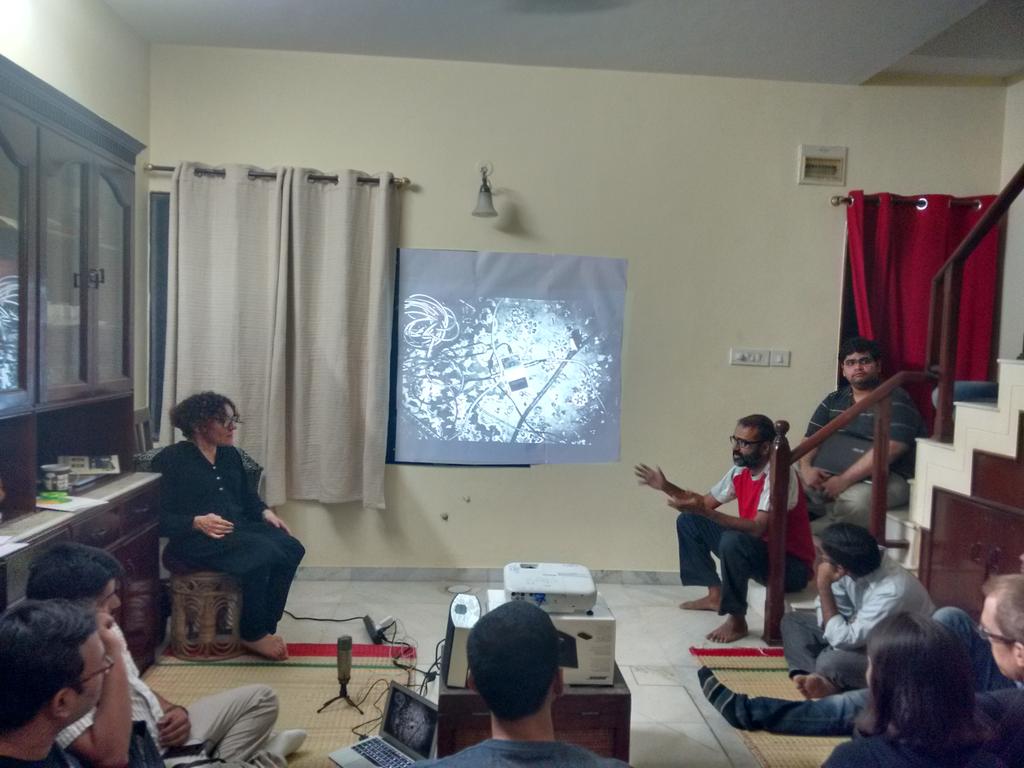
Last week, we gathered at the Paradigm Shift cafe in Koramangala, to learn about the location data infrastructure at Olacabs.com. The meetup was particularly interesting in the light of Ola’s recent move adding autorickshaws to their offering. Location is at the center of Ola’s business.

Vijayaraghavan Amirisetty, Director of Engineering at Olacabs, introduced how they collect data in real-time from cars fitted with smartphones. With over a lakh vehicles online at any given time, Ola’s primary challenge is to build an infrastructure to allocate taxis to customers quickly and reliably. Vijay highlighted some of the issues around collecting location data via GPS and cell networks. Even though both the technologies have matured since their inception, they are highly unreliable in various scenarios. Ola uses a combination of algorithms to build a reliable layer over GPS and network. One thing to note is that the smartphones are of variable quality and the system needs to work regardless of these metrics.

olameetup

Even though Ola is using Google Play services as their location aggregator, in India, network is a bigger challenge. Quality varies from city to city and also reception within a city in unpredictable. Ola falls back to SMS, driver’s phone and a set of offline algorithms if the network is unavailable. Ola’s infrastructure is built using technologies like MongoDB, MySQL, Cassandra, Redis and Elastic Search. They are also exploring integrating web sockets and an experimental custom Android mod.

There was a lot of feedback from the audience specifically around why it is difficult for the drivers to locate the customer. Driver training is not an easy task – there are a lot of logistical and operational challenges. Vijay emphasised on the amount of work Ola does to improve the drivers’ experience with the whole process of on-boarding their cars.

Everything at Ola is realtime – why would anyone book an auto through Ola if they can just walk out and get one in less than a minute. They are continuing to improve and innovate to revolutionize transportation in Indian cities.

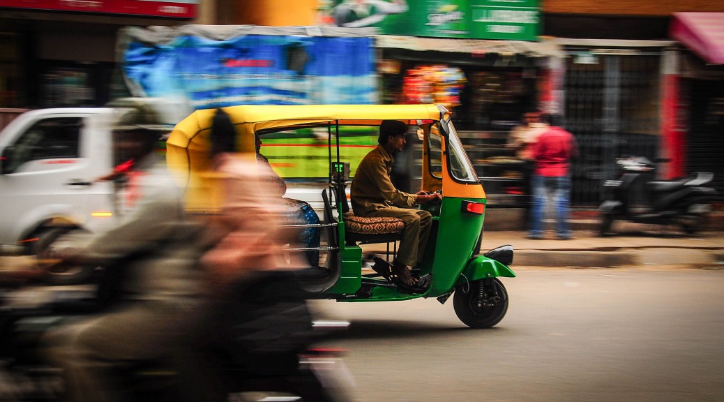
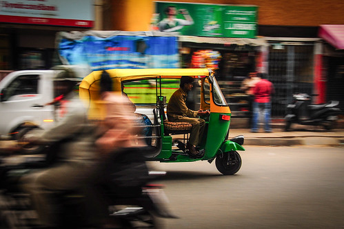
Autorickshaw photo CC 2.0 Spiros Vathis

GeoBLR in 2015 – Mapping Unmapped Places!

Dholera, Ahmedabad

To kick things off in 2015, we met at the offices of the Centre for Internet and Society (CIS), Bengaluru to map the unmapped/less-mapped settlements along the proposed Delhi-Mumbai Infrastructure Corridor (DMIC) project. The DMIC, a 1,483 km-long development corridor spanning several states in northern and western India, has been attracting a lot of curiosity and criticism from the national and international participants and observers. The project will have built a dedicated freight corridor, several industrial and logistics hubs, and smart cities at its completion. The project has been structured to be constructed in phases. The pilot project for an integrated smart city, Dholera Special Investment Region (SIR), is underway.

B61DDQzCUAACknX

The quality of mapping in many regions relies on a very active mapping community, or a strong interest from a collectives and local networks. We think it is important regardless to map the assets that pre-exist around the proposed sites of developments. With this in mind, we decided to take a look at the areas earmarked for the Dholera SIR (Gujarat), Shendra (Maharashtra), Mhow (Madhya Pradesh), and Dadri/ Greater Noida (NCR). The evening began with Tejas introducing the DMIC project, the scale of new development, and the need to capture these changes for years to come on OpenStreetMap (OSM). Sajjad provided a rapid tutorial on signing up for OSM, and using the browser-based map editor. The party was attended by guests at CIS as well as remotely from Bangalore and Dharamsala.

B61Hg57CIAAmBmV.jpg_large

As the party progressed, several guests ended up mapping roads, buildings, and water bodies in the Dholera region. Others chose to similarly map Shendra, and Dadri.

GeoBLR – PIN Code Extravaganza!

Last week at GeoBLR we discussed the issues around PIN codes. The most  important questions were around the processes the postal system and also what are the issues around the availability of reliable spatial data.

Couple of weeks back, Nisha and I started putting together several questions that we would like to get insights on. We used that as the starting point for the discussions. The meat of the problem really is that nobody knows what the processes are and how to get that information.

Prior to GeoBLR, we met some people who are interested in the same issue and clarified a lot of things – for instance, we are now sure that some times a single post office can deal with more than one PIN code.

To get a sense how people felt about the PIN codes issues, we asked around. Some people don’t bother to use PIN codes for any substantial service other than sending post cards.  As long as we are not able to tie PIN codes to geographic locations reliably, it’s not so useful.  Everybody agrees that it has immense potential just because it’s the only part of the address that everybody gets right (most of the time).

We also started to brainstorm how to come up with a plan so that a group like ours along with several other partners could work together to attempt to crowdsource the issue. Read more about the plan and next steps here!

20140821_191027 20140821_191035

The GeoBLR Sprint 1 – July 3, 6pm – 8pm

I’m excited to announce the first GeoBLR Sprint! The event is happening at The Center for Internet and Society on July 3, 6pm – 8pm. (RSVP)

During the July meetup, we are asking participants to bring their problems around maps and spatial data to the event. Some of Bangalore’s own data experts will be at the event, who will engage in a two hour problem solving exercise with the participants.

Have some map data that needs cleaning? Trouble with map projections or data formats? Looking for some data but not quite sure where to find it? Difficulty choosing colours for your map? May be we can help!

We encourage participants to get in touch with us prior to the event to talk about the issues that they would like to preset. Write to us on hello@geoblr.in, or post a comment on our Meetup group, or write to me (me at sajjad dot in). We will select couple of  challenging problems and will recommend solutions for others.

GeoBLR Sprint 1!

Thursday, Jul 3, 2014, 6:00 PM

The Center for Internet and Society
No. 194, Second ‘C’ Cross, Domlur 2nd Stage

10 Mappers Attending

The July meetup is the first GeoBLR Sprint. We are asking people to bring their problems around maps and spatial data to the event and we will collectively try and solve some of them.Unlike a casual discussion, we will engage in actually doing something that’s meaningful for all of us and learn from everyone around us.If you have an interesting…

Check out this Meetup →

See you at the event!

[mapsmarker marker=”5″]


If you are curious to know more about GeoBLR and why we are doing it, I wrote about it here.