Category Archives: Open Data India Watch

Data Policies in Telangana

Government of Telangana  has launched four IT policies related to data on cybersecurity, data centers, data analytics and open data. Honorable IT Minister K T Rama Rao has announced the intention of separate sectoral policies through the launch of Telangana IT policy in the month of April’16. During the launch he stressed the importance of open data policy for the state. In his own words:

” Telangana will be among the pioneers in the country in coming up with this open data policy. The open data policy is the first step in opening up government data to a host of potential applications. The policy sets the necessary framework in place to operationalize the state open data portal. The policy has many enabling provisions in place for multiple stakeholders. Through this policy we hope to catalyze data and to make data driven decision making possible and development of important solutions for societal benefits. “

These policies were made after several consultations with industry, academia, civil society and various individual experts. Though the policies focus on individual sectors primarily, most of the elements are inter-linked with the common element of data.  While the state government intends to foster its economy and business with the help of data, the open data policy focuses on enabling transparency and human development apart from economic development. Telangana, an IT rich state following open data practices will be a major boost for the ecosystem in India too.

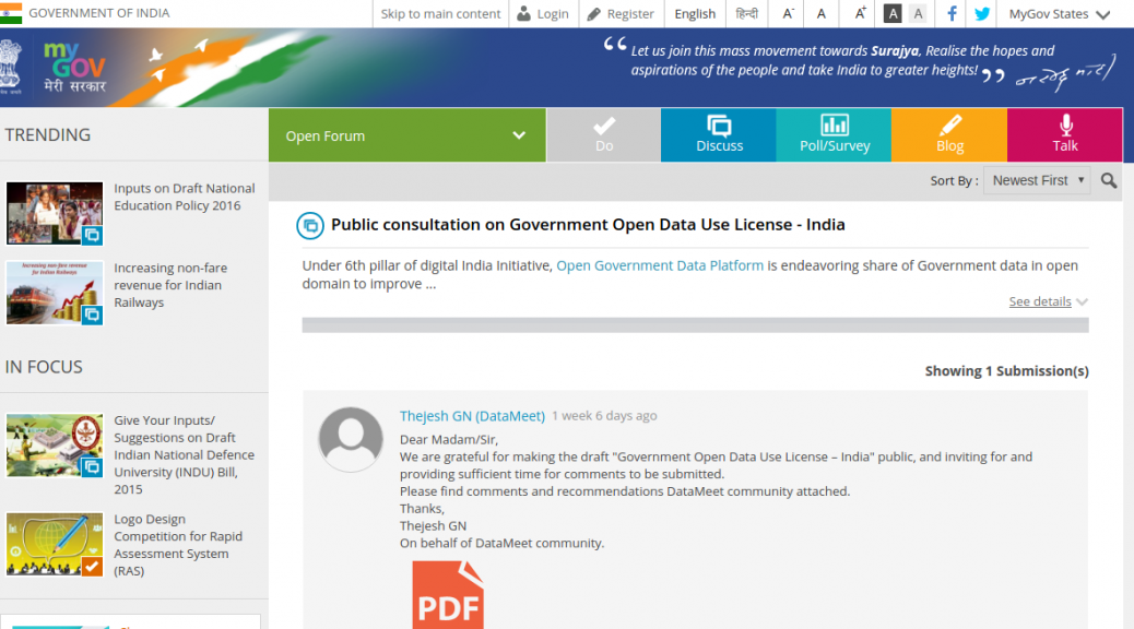
We have been interacting with officials from Government of Telangana since December ’15, providing appropriate suggestions for the open data policy. Dileep Konatham, Director for Digital Media, Department of Information Technology was our esteemed panelist during discussions on Digital India at Open Data Camp Delhi ’15.  Datameet will work with the Government of Telangana to help implement the policy with necessary suggestions for guidelines and community building over the coming months.

Links to the policies launched:

Happy Independence Day and Open Indian Village Boundaries

One of the longest and most passionately discussed subject on the Data{Meet} list is the availability of Indian Village Boundaries in Digital format. Search for Indian Village shape files and you can spend hours on reading interesting conversations.

Over last two years different members of community have tried to digitize the maps available through various government platforms or shared the maps through their organizations.

A look at the list discussion tells you that boundaries of at the least 75% of the states are available in various formats and quality. What we need at this point is a consolidate effort to bring them all on par in format, attributes and to some level quality. So some volunteers at Data{Meet} agreed to come together, clean up the available maps, add attributes, make them geojson and publish them on our GitHub repository called Indian Village Boundaries.

Of course this will be an on going effort but we would love to reach a baseline (all states) by year end. As of now I have cleaned up and uploaded Gujarat. I have at the least 4 more states to go live by month end. Karnataka, Kerala, Tamil Nadu and Goa. I will announce them on the list as they go live.

The boundaries are organized by state using state ISO code. All the village boundaries are available in geojson (WGS84, EPSG4326) format. The project page gives you the status of the data as we clean and upload. Data is not perfect yet, there could many errors both in data and boundaries. You can contribute by sending the pull requests. Please use the census names when correcting the attributes and geojson for shapes. Please source them to an official source when sending corrections.

Like everything else community creates. All map data will be available under Open Data Commons Open Database License (ODbL). This data is distributed in the hope that it will be useful, but WITHOUT ANY WARRANTY; without even the implied warranty of MERCHANTABILITY or FITNESS FOR A PARTICULAR PURPOSE. If you find issues we are more than happy to accept corrections but please source them to an official source.

On this 70th Independence day, as we celebrate the historic event of India becoming Free and Independent, Data{Meet} community celebrates by cleaning, formatting and digitizing our village boundaries. Have a great time using the maps and contributing back to society.

https://github.com/datameet/indian_village_boundaries

Picture: Kedarnath range behind the Kedarnath temple early morning. By Kaustabh, Available under CCBYSA.

Our Comments on Draft Government Open Data License

A draft government open data license has been released by the oversight committee implementing National Data  Sharing and Accessibility Policy (NDSAP).  This license will be ideally applicable to all datasets being shared under NDSAP and through Open Government Data Platform (data.gov.in) and has been visioned to support all government data for public use.

While we welcome the requirement for a license to share government data, the license oversteps its boundaries in certain clauses and restricts data rights of users and citizens accessing public data along with a clause for no warranty of data. It also transfers liability of accessing sensitive data to the user and grants impunity to the data controller releasing such data incidentally or accidentally. Our submission for draft consultation has been uploaded to my.gov.in .  Please go ahead a do an upvote if you agree with our submission.

Other notable submissions are also being shared for reference.

Submissions from Medianama
Submissions from Factly

Open Data India Watch – 20

Stories

  • The India Water Tool Version 2 (IWT 2.0) is an easy-to-use, online tool for companies and other users to understand their water-related risks and prioritize actions toward sustainable water management. IWT 2.0 combines data from Indian government agencies and water stress indicators from the World Resources Institute and Columbia Water Centre.

Events

Open Data India Watch – 19

Stories

  • Urban Water Blueprint the state of water in more than 2,000 watersheds and 530 cities worldwide to provide science-based recommendations for natural solutions that can be integrated alongside traditional infrastructure to improve water quality. City and utility leaders who embrace both natural and engineered water infrastructure will not only meet future water demand; they will reshape our planet’s landscape for the better.
  • SoilInfo – soil data android app – SoilInfo provides free access to soil data across borders. SoilInfo is also available as a Desktop version.
  • Weather Web proves that Jayanagar is hotter than Hebbal
  • outbreaks by globalincidentmap
    outbreaks

Tech

Events

Open Data India Watch – 18

Stories

  • The Music Timeline shows genres of music waxing and waning, based on how many Google Play Music users have an artist or album in their music library, and other data (such as album release dates). Each stripe on the graph represents a genre; the thickness of the stripe tells you roughly the popularity of music released in a given year in that genre. (For example, the “jazz” stripe is thick in the 1950s since many users’ libraries contain jazz albums released in the ’50s.) Click on the stripes to zoom into more specialized genres.
  • Two-thirds of prison inmates in India are undertrials
  • North elects more women MLAs Bihar, Haryana and Rajasthan have the highest proportion

Tools

  • SlimerJS A scriptable browser for Web developers/scrapers

Open Data India Watch – 16

Stories

  • SoilGrids1km is a collection of updatable soil property and class maps of the world at a relatively coarse resolution of 1 km produced using state-of-the-art model-based statistical methods: 3D regression with splines for continuous soil properties and multinomial logistic regression for soil classes. SoilGrids1km is a global soil information system based on automated mapping.

Tech

Events

Open Data India Watch – 14

Stories

Tools

  • GeoPlanet Explorer. You can explore the geographical information provided by Yahoo in the GeoPlanet API and data set.
  • uDig is an open source (EPL and BSD) desktop application framework, built with Eclipse Rich Client (RCP) technology. The goal of uDig is to provide a complete Java solution for desktop GIS data access, editing, and viewing.
  • Geopaparazzi is a tool developed to do very fast qualitative engineering/geologic surveys. Even if the main aim is in the field of surveying, it contains tools that can be of great use also to OpenStreetMappers as well as tourists that want to keep a geo-diary. Geopaparazzi is now available on the Android Market. Search for geopaparazzi on your phone or get it from the online android market.

Stories – World