Over the years DataMeet community has created/cleaned lots of maps and made them available on GitHub. One of the biggest issue we had was visibility. Larger community couldn’t find them using google or couldn’t figure out how-to download maps or use them. Basically we lacked documentation. Happy to say we have started working on it
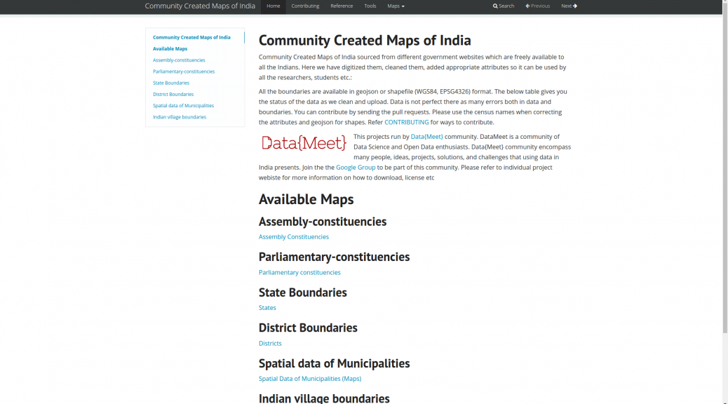
The home of all the projects will be
http://projects.datameet.org/maps/
From there you will be able to find links to others, This is the link you can use to share in general. More links below.
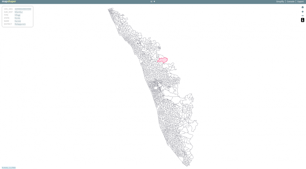
Most documentation have description of the map, fields, format, license, references and a quick view as to how the map looks. For example check the Kerala village map page.
There is a little bit of work left in documenting the Municipality maps. I am working on them. Otherwise documentation is in a usable state. P
lease add your comments or issues on GitHub or respond here. Each page has a link to issues to page on Github. You can use it.
In future I will try to add some example usage, links to useful examples and tutorials and also build our reference page. I am hoping
Thanks to Medha and Ataulla for helping to document these projects.
A few days back I also wrote about Community Created Free and Open Maps of India, let me know if I have missed any projects. I will add.
Map links
- Home – http://projects.datameet.org/maps/
- A.Cs – http://projects.datameet.org/maps/assembly-constituencies/
- P.Cs – http://projects.datameet.org/maps/parliamentary-constituencies/
- States – http://projects.datameet.org/maps/states/
- Districts – http://projects.datameet.org/maps/districts/
- Municipalities – http://projects.datameet.org/Municipal_Spatial_Data/
- Village boundaries – http://projects.datameet.org/indian_village_boundaries/
On github they remain same, We have mainly three maps repos
