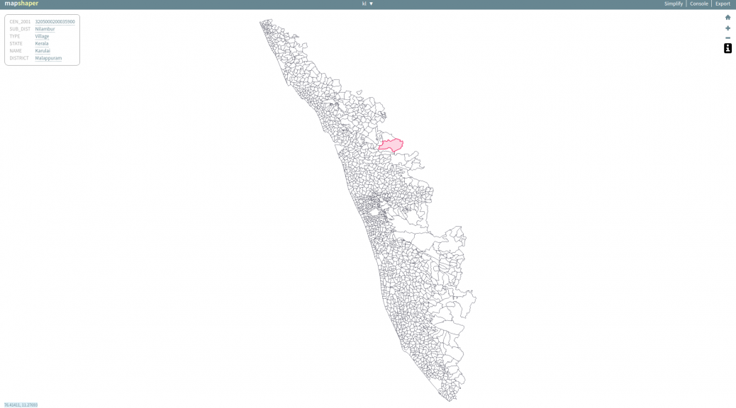
Ever since we started publishing Indian village boundaries in GeoJSON format, the single most question asked was how to convert geojson into Shapefile. To answer that question I created a screencast. Here it is.
The tool used is called MapShaper.
Ever since we started publishing Indian village boundaries in GeoJSON format, the single most question asked was how to convert geojson into Shapefile. To answer that question I created a screencast. Here it is.
The tool used is called MapShaper.
Comments are closed.
Good screencast! There is one more site where one can do the same: http://geojson.io