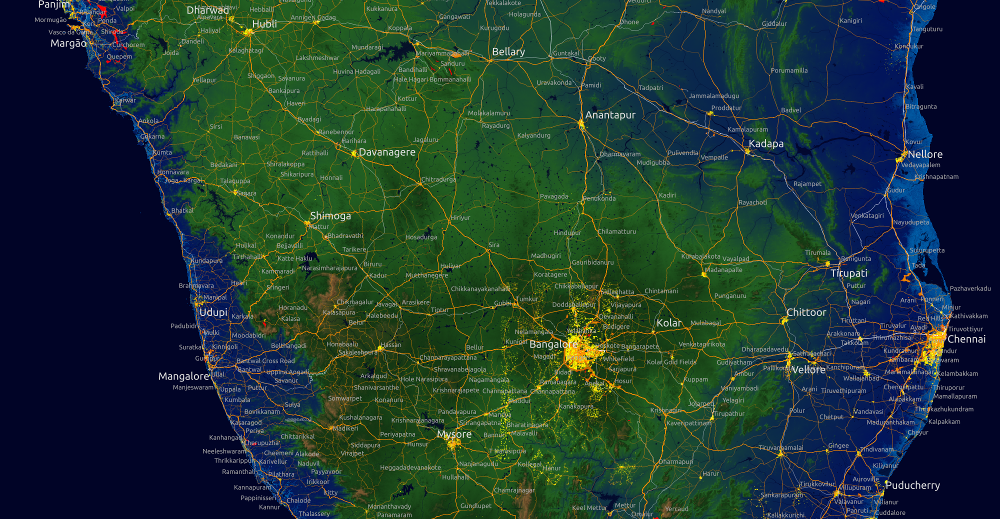
GeoPlanet Explorer. You can explore the geographical information provided by Yahoo in the GeoPlanet API and data set.
uDig is an open source (EPL and BSD) desktop application framework, built with Eclipse Rich Client (RCP) technology. The goal of uDig is to provide a complete Java solution for desktop GIS data access, editing, and viewing.
Geopaparazzi is a tool developed to do very fast qualitative engineering/geologic surveys. Even if the main aim is in the field of surveying, it contains tools that can be of great use also to OpenStreetMappers as well as tourists that want to keep a geo-diary. Geopaparazzi is now available on the Android Market. Search for geopaparazzi on your phone or get it from the online android market.
xlwings – Replace your VBA code with Python, a powerful yet easy-to-use programming language that is highly suited for numerical analysis. Supports Windows & Mac!
DataMeet Data Catalog – The catalog of datasets and data sites by DataMeet community. This includes links to datasets owned by communities, governments and organizations.
All of us on DataMeet group are aware of Aaron Swartz. So I thought it would be a great idea to watch it together and share ideas. Hence we are screening the movie coming thursday. Please make it if possible. RSVP on the meetup page. If you can’t make it. The movie is on archive.org for everyone to download and watch. You can also visit the movie project page for more details.
DataBootCamp India -Hack the Budget at the capital’s biggest data journalism event yet, between September 5-7. The Open Data Bootcamp is co-hosted by the International Center for Journalists, the Hindustan Times, Hacks/Hackers New Delhi, Data{Meet}, and the 9.9 School of Communication. The three-day event will take place at the Bridge School of Management at Cyber City in Gurgaon.
Suggest stories to us
You can suggest stories, applications, events etc by tweeting at @datameet or by emailing.
MapShaper enables online editing of Shapefile .shp, GeoJSON or TopoJSON files.
The GDELT Project monitors the world’s broadcast, print, and web news from nearly every corner of every country in over 100 languages and identifies the people, locations, organizations, counts, themes, sources, and events driving our global society every second of every day, creating a free open platform for computing on the entire world.
Google Maps under CBI lens for mapping sensitive areas – As per the National Map Policy 2005, “the responsibility for producing, maintaining and disseminating the topographic map database of the whole country, which is the foundation of all spatial data, vests with the Survey of India”.
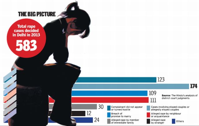
The many shades of rape cases in Delhi – A six-month long investigation by The Hindu has revealed that the nature of reported sexual assault in Delhi is far more complex than earlier imagined. Among the key findings is that a third of all the cases heard during one year dealt with consenting couples whose parents had accused the boy of rape.