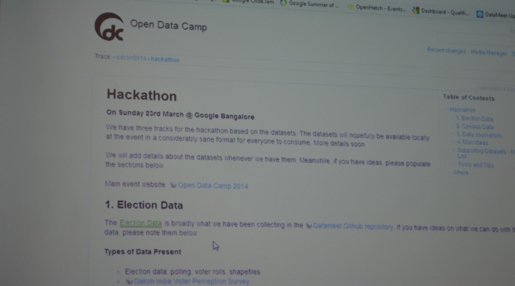
One of the most often requested data on DataMeet email list is PC boundary maps of India. Election commission of India has it, but part of it is old and also is in PDF format. In the recent ODCBLR hackathon coming up with PC boundary maps was one of the biggest hackathon tasks. A group of talented hackers worked on it. Just after the hackathon Sajjad released it on our email list. Its available on GitHub in the form of shape file.
Repository: https://github.com/datameet/maps
Download: https://github.com/datameet/maps/archive/master.zip
You can contribute to the project by verifying it, correcting it if required. It’s generally good idea to fork the repository and send the pull request. You can also download the files directly if you are not interested in repository.
The shape files are very detailed and hence very huge (~30MB). It’s a great source if you are importing into PostGIS to do any kind of processing. If you are looking for online usage, then try to simplify it before using.
